Lucerne Creek does not have a dedicated USGS streamflow gauge. Conditions are assessed through CDFW and Lake County WPD visual surveys and the lake-wide spawn phase indicator below.
Rearing habitat near the town of Lucerne on the NE shore. Limited survey data, an NE shore monitoring gap.
Enters the northeast shore near the town of Lucerne.
Lucerne Creek is part of the North & Upper Arm, one of several tributaries that drain this part of the watershed.
Key Data
Adjacent townLucerne
One of Clear Lake's 27 documented tributaries. Detailed survey history and field photos are available for the priority spawning streams: Kelsey, Adobe, Burns Valley, and Forbes.
Field Photos
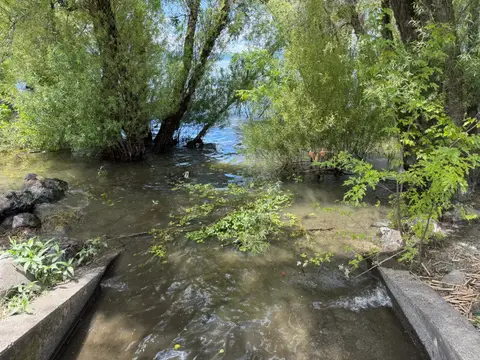
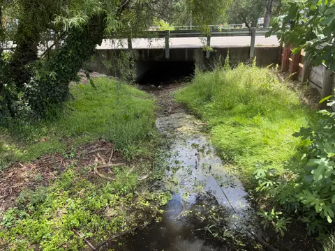
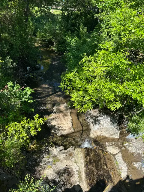
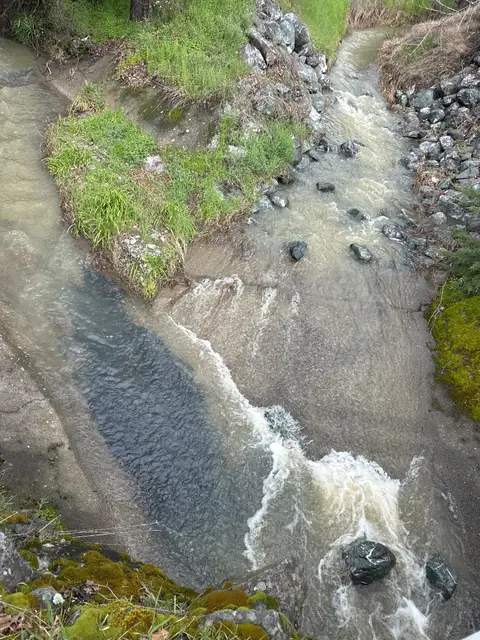
Lucerne Creek in the field
4 photos documenting survey reaches, barriers, fish observations, and seasonal conditions from Lake County Watershed Protection District community science monitoring.
Creek mouth
Mouth of Lucerne Creek Facing Clear Lake on5/28/26
Monitoring site
Downstream Reach of Lucerne Creek at Highway 20 onDownstream reach · 5/28/26
Monitoring site
Upstream Reach of Lucerne CreekUpstream reach · 4/28/25
Monitoring site
Upstream Reach of Lucerne CreekUpstream reach · 3/17/25